Did Southern Nebraska Towns Really Shift to Zone 6a?
A map that now places a southern Nebraska town in Zone 6a can look like a signal to plant earlier or choose less-hardy plants. It is a useful update, but it does not promise milder winters in every yard. Here’s what a shift to Zone 6a means, why some locations changed, and how to use the rating without mistiming vegetables or risking valued plants.
What a shift to Zone 6a means
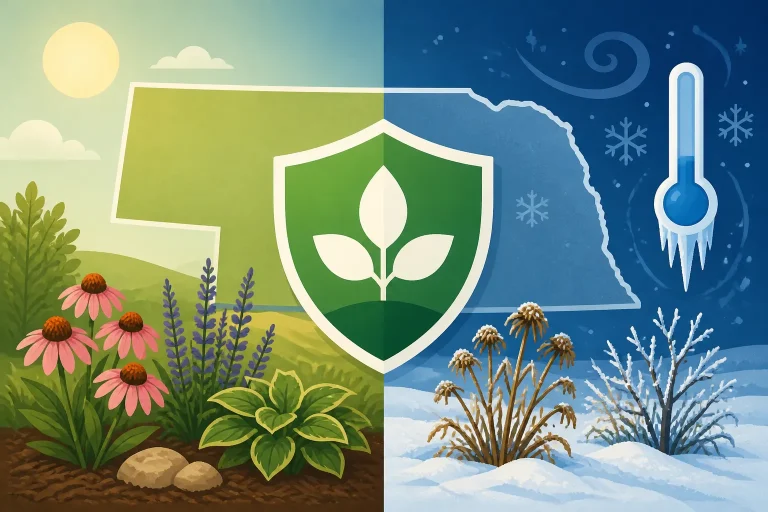
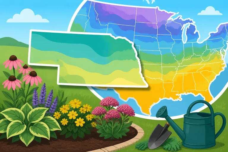
The USDA Plant Hardiness Zone Map groups areas by their average annual extreme minimum winter temperature. A location shown in Zone 6a has a different long-term temperature profile from one shown in the colder neighboring zone. The number describes an average pattern over time; it does not predict the lowest temperature in any particular winter.
So, did southern Nebraska towns really shift to Zone 6a? Some locations may now fall in Zone 6a on the updated map, but the change does not necessarily apply to every part of every town. A map boundary can pass near or through a community, and a town name is not a precise planting location. Check the map at the location you care about rather than relying on a broad label such as “southern Nebraska.”
A shift on the map is also not the same as a guarantee that a plant rated for Zone 6a will thrive in a particular yard. Hardiness zones are most useful for comparing the cold tolerance of perennial plants, trees, and shrubs. They do not account for every feature that affects a plant’s survival, including exposure to wind, soil drainage, snow cover, winter moisture, and local cold pockets.
| What the map tells you | What it does not tell you |
|---|---|
| A long-term measure of winter cold used to compare plant hardiness | The lowest temperature expected in a specific winter |
| Whether a perennial or woody plant’s stated hardiness range may suit a location | Whether a plant will thrive in every yard within that mapped area |
| A broad regional pattern based on mapped temperature data | When to sow vegetables, transplant tomatoes, or expect the last spring frost |
| A starting point for selecting plants | Whether a plant is protected from wind, drought, soggy soil, or sudden cold |
A zone shift is best understood as a change in a planning reference, not a promise of reliable warmth. If a plant is borderline for your area, the updated rating may make it a reasonable candidate to consider. It is still sensible to look at the plant’s full requirements and the conditions at your site.
For help reading a map boundary, see Reading the USDA Plant Hardiness Map for Nebraska Beds. If you want to check a specific location, How to Find the Hardiness Zone for Your Nebraska Town and Finding Plant Hardiness for Nebraska ZIP Codes explain why the local result can be more useful than a general regional description.
Why a town’s mapped zone can change
The map is a long-term summary of winter temperature data. When the period of data used to create a map is updated, the averages and mapped boundaries can shift. A warmer classification means the data used for the updated map place a location in a warmer hardiness category than before. It does not mean every winter has become mild, or that the town will no longer experience severe cold.
The map’s categories are regional averages, not property lines. A boundary may cross a county, a town, or even an area smaller than a town. Two gardeners who use the same town name could be looking at different map colors, especially when the boundary runs nearby. The map is useful for narrowing down a likely zone, but it should not be treated as a site-specific measurement.
There are also small-scale differences the map cannot show in detail. A home on an exposed ridge, an open field, or a windy edge of town may experience more stress than a protected garden near buildings or trees. A low area where cold air collects can be colder than nearby ground on a still, clear night. The effect depends on the site and the weather; a map cannot capture all of it.
This is why a zone label should not be interpreted as a guarantee for a particular address. Use the USDA map to check the location you garden in, then consider the yard’s exposure, drainage, and winter conditions. For a closer look at how boundaries work across postal areas, Navigating Zone Lines Across Nebraska ZIP Codes is a useful companion.
A map shift does not mean every town shifted
“Southern Nebraska” covers a large area, and the map does not assign a single zone to the entire region. Some places may be in Zone 6a while nearby places remain in another mapped zone. Even within a town, the result can depend on the exact location selected on the map.
That distinction matters when a nursery tag, plant description, or gardening conversation refers to a town as if it had one definitive rating. A town name can be a quick shorthand, but it may not reflect a garden on the edge of the mapped area. If the plant is a close call for your location, check the map directly and consider choosing a plant with more cold tolerance than the minimum suggested for the mapped zone.
The exact border is not a fence between two climates. Conditions change gradually across landscapes, while a map must draw lines between categories. A gardener close to a boundary should not assume a plant will behave completely differently on one side of the line than the other.
The rating does not describe every kind of cold
Hardiness zones focus on winter minimum temperature patterns. They do not tell you how often warm spells are followed by sharp cold, how much wind a plant will face, or whether the soil stays waterlogged. Those conditions can affect winter survival even when the mapped zone appears suitable.
Nor does a warmer zone erase the risk of an unusually cold winter. A plant that generally survives a location’s long-term pattern can still suffer damage during an exceptional cold snap. For a closer look at that limitation, read Does Zone 6 Winter Hardiness Protect Against Extreme Cold? and Surviving Nebraska Bitter Cold Snaps Beyond Hardiness Ratings.
How Zone 6a can—and cannot—guide plant choices
The main practical use of a hardiness zone is to screen perennial plants, trees, and shrubs by their ability to tolerate winter cold. If a plant’s stated hardiness range includes the zone shown for your location, it may be worth considering. That is a starting point for selection, not a guarantee of success.
When a plant was previously considered marginal, a warmer mapped zone may broaden the options you investigate. But a plant’s survival depends on more than the lowest winter temperature. Check its needs for sun, soil moisture, drainage, and shelter, and consider how exposed your planting site is. A plant suited to a protected bed may struggle in a windswept location, while a plant that dislikes wet soil can fail in a yard that holds water through winter.
For valued or costly plants, avoid relying on the most optimistic interpretation of a boundary. Choosing a plant that is comfortably hardy for your location can reduce risk. If you do experiment with a less-cold-tolerant plant, treat it as a trial and avoid making the whole landscape depend on it.
| Gardening decision | How the zone rating helps | What else to check |
|---|---|---|
| Selecting a perennial | Compare the plant’s hardiness information with your mapped zone | Soil, sun, drainage, exposure, and winter moisture |
| Choosing a tree or shrub | Screen out plants unlikely to tolerate typical winter cold | Mature size, wind exposure, site drainage, and local conditions |
| Trying a borderline plant | Identify a possible experiment rather than assuming success | Whether the site is sheltered and whether you can accept winter loss |
| Deciding when to plant vegetables | Little direct help with planting dates | Frost risk, soil temperature, crop type, and the local forecast |
| Planning spring transplanting | Does not identify a safe outdoor date | Plant sensitivity, hardening off, and forecast conditions |
A warmer rating should not be used to justify moving every tender plant outdoors earlier. Vegetable planting dates depend on spring conditions and the crop’s tolerance of cold, not on the hardiness zone alone. Warm-season vegetables can be injured by cold soil or a late freeze even where the map shows a relatively mild winter category. For vegetable-specific timing, start with Nebraska Vegetable Planting Calendar: From Spring Thaw to Fall and Why Plant Hardiness Zones Do Not Dictate Vegetable Planting Dates.
Do not use the zone as a frost-date calendar
A hardiness zone is about average annual extreme winter cold, not the timing of spring or fall frost. It cannot tell you that the last spring frost has passed, that a warm spell will continue, or that tender crops are safe outside. Frost dates are estimates based on historical probabilities and can vary from year to year.
This distinction is especially important for annual vegetables. Many vegetable crops are harvested in one season and respond to soil warmth, day length, and frost exposure. Their planting windows can be different even when they grow in the same garden. Cool-season crops may tolerate chilly conditions that would harm peppers or tomatoes, while a warm-season crop may wait for warm soil even after the chance of frost has declined.
A map shift may be relevant to long-lived plants but does not replace seasonal planning. For spring decisions, use Planning Vegetable Beds Around Unpredictable Late Spring Freezes. If you are working with tender seedlings, Hardening Off Nebraska Bedding Starts Before Outdoor Planting covers the transition from indoor or protected conditions to outdoor weather.
Look beyond the minimum zone printed on a plant label
Plant labels and descriptions often give a hardiness range. That information is useful, but a plant’s lower limit should not be treated as an assurance that it will flourish at the edge of that range. A plant may survive winter but grow poorly, lose branches, or fail to flower as expected. A protected location can help some plants, but it cannot make every site suitable.
Look for information about the plant’s preferred moisture and exposure as well as its cold tolerance. Consider whether the site is sheltered by a building, exposed to winter wind, shaded for much of the day, or likely to hold standing water. Local experience can also help: if nearby gardens have repeatedly lost a particular kind of plant after cold winters, that observation is worth weighing alongside a map label.
A cautious approach is particularly helpful for trees and shrubs. They are a larger investment than many annual plants, and replacing a poorly matched one can be difficult. Choose plants that fit the site rather than treating Zone 6a as a reason to stretch every boundary.
Use local conditions to make planting decisions
For a home garden, the most useful plan combines the map with conditions on the ground. Start by checking the precise location on the USDA Plant Hardiness Zone Map. Then assess the bed or planting site: note exposure to wind, how quickly water drains, whether cold air seems to settle there, and how much protection nearby buildings or vegetation provide. A zone can help you narrow plant choices, but these observations help you decide whether a particular plant fits the site.
For vegetables, build a separate calendar around crop needs and seasonal weather. The zone can provide background context, but it does not set a sowing date. Check the likely planting window for each crop, pay attention to soil conditions, and be prepared to adjust when forecasts or local conditions differ from expectations. If the soil is too cold or wet to work without damage, the map alone is no reason to rush.
A practical sequence is:
- Check the exact map location. Do not assume the entire town shares one zone. If the location is close to a boundary, treat the result as a planning estimate.
- Identify what you are planting. A perennial shrub and a spring lettuce crop do not use hardiness information in the same way.
- Review the plant’s full needs. Check sun, moisture, drainage, and exposure alongside cold tolerance.
- Match the site. Compare the plant’s needs with the actual conditions in the intended bed, not only with the town’s general climate.
- Use seasonal information for vegetables. Frost risk, soil temperature, and crop tolerance are more useful than the zone for deciding when to sow or transplant.
- Keep a short record. Note what survived, what was damaged, and where it was planted. A few seasons of observations can help you make better choices for your own yard.
Read the boundary as a planning signal, not a planting command
A move to Zone 6a can be useful when comparing possible plants or explaining why a previous zone reference may no longer match an updated map. It is not a command to plant earlier, and it does not mean the region is free from damaging cold. When a plant’s suitability is uncertain, prioritize its site requirements and consider how much risk you are willing to take.
For example, a gardener comparing two perennial options might use the map to rule out one that is clearly too tender for the location. A second plant that appears suitable may still need well-drained soil and protection from wind. The map helps narrow the decision; it does not make the decision by itself.
Vegetable gardeners should keep the same distinction in mind. A warmer hardiness rating does not establish that the soil is ready for planting, and it does not indicate that tender seedlings are safe from a late freeze. Crop-specific timing matters more. For spring greens and other hardy crops, see Cool-Season Crops You Can Start Before Frost Passes. For warm-season transplants, Waiting for Warm Ground to Transplant Nebraska Warm-Season Crops explains why soil warmth is a separate consideration.
Keep a record of your own yard
Local observations are useful because the map cannot describe every garden. Write down where a plant is growing, whether the area is windy or sheltered, how the soil drains, and what winter damage occurs. If one bed repeatedly experiences frost damage while another nearby does not, that difference can guide future planting and protection choices.
Records are also a way to distinguish a one-off event from a pattern. One unusually cold winter does not necessarily invalidate a map classification, just as one mild winter does not guarantee that a less-hardy plant will thrive. Over time, notes about plant performance can help you decide whether to repeat a trial, move a plant, or choose a more resilient alternative.
If you are choosing a tree, shrub, or perennial for a high-visibility spot, there is little downside to leaning toward a plant with a comfortable cold-tolerance margin. If you enjoy experimenting, reserve a smaller area for plants that may be marginal. That way, the map’s warmer signal can inform your choices without making the entire garden depend on a single interpretation.
Frequently Asked Questions
Did all southern Nebraska towns move to Zone 6a?
No. The map divides land by mapped temperature patterns, not by town boundaries. Some locations may fall in Zone 6a while nearby locations fall in another zone. Check the specific place you garden rather than assuming a town-wide rating.
Does Zone 6a mean winters will no longer get severely cold?
No. It is a long-term average category, not a prediction for an individual winter. Severe cold can still occur, and a plant’s survival also depends on its site and growing conditions.
Should I plant vegetables earlier because my town is in Zone 6a?
Not on that basis alone. Hardiness zones do not provide vegetable sowing or transplant dates. Use crop-specific guidance, soil conditions, frost risk, and the weather forecast.
Is Zone 6a enough to decide whether a tree or shrub will thrive?
It is a helpful first check, but not enough by itself. Also assess the plant’s needs for sun, water, drainage, and shelter, and consider the exposure and conditions of the planting site.
Disclaimer
This article is for general informational purposes only and does not constitute professional advice. Laws, prices and regulations vary by location and change over time. Consult a qualified professional for guidance on your specific situation. Nebraska Gardening Guide is not a government agency and is not affiliated with any university extension, state department of agriculture or other government agency.